Questions? 022 - 67308301/02
Trekking

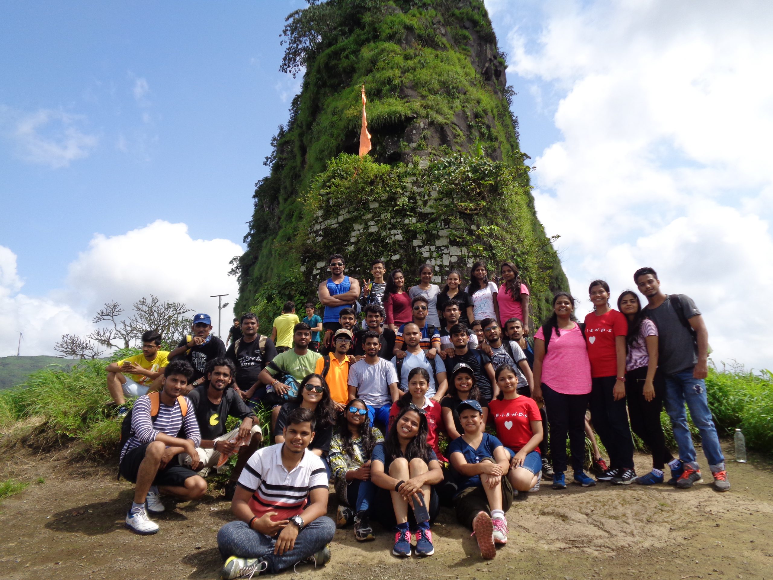
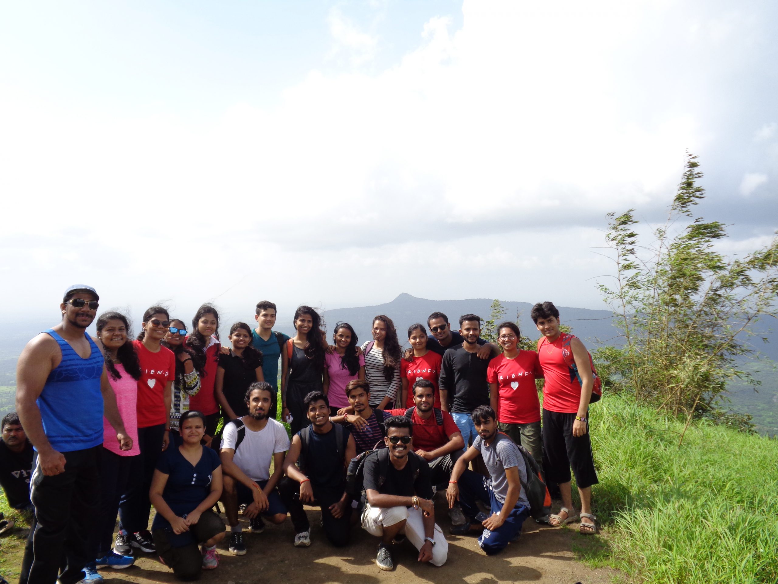
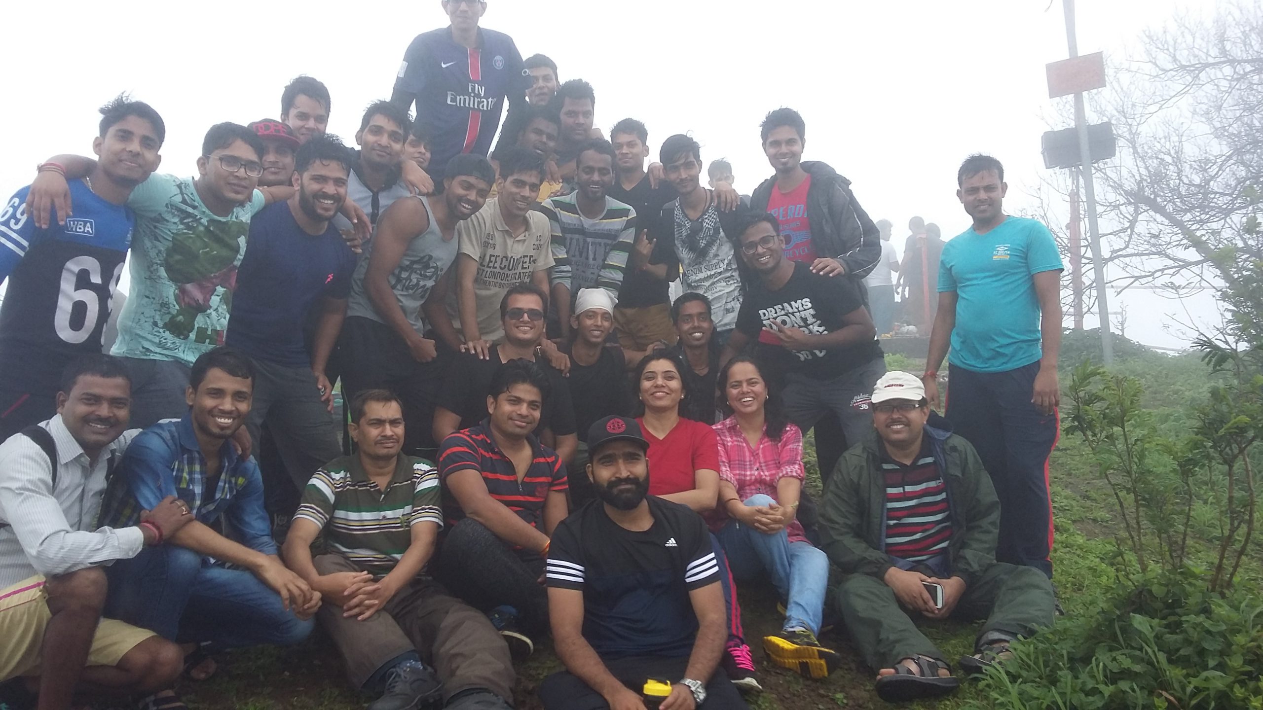
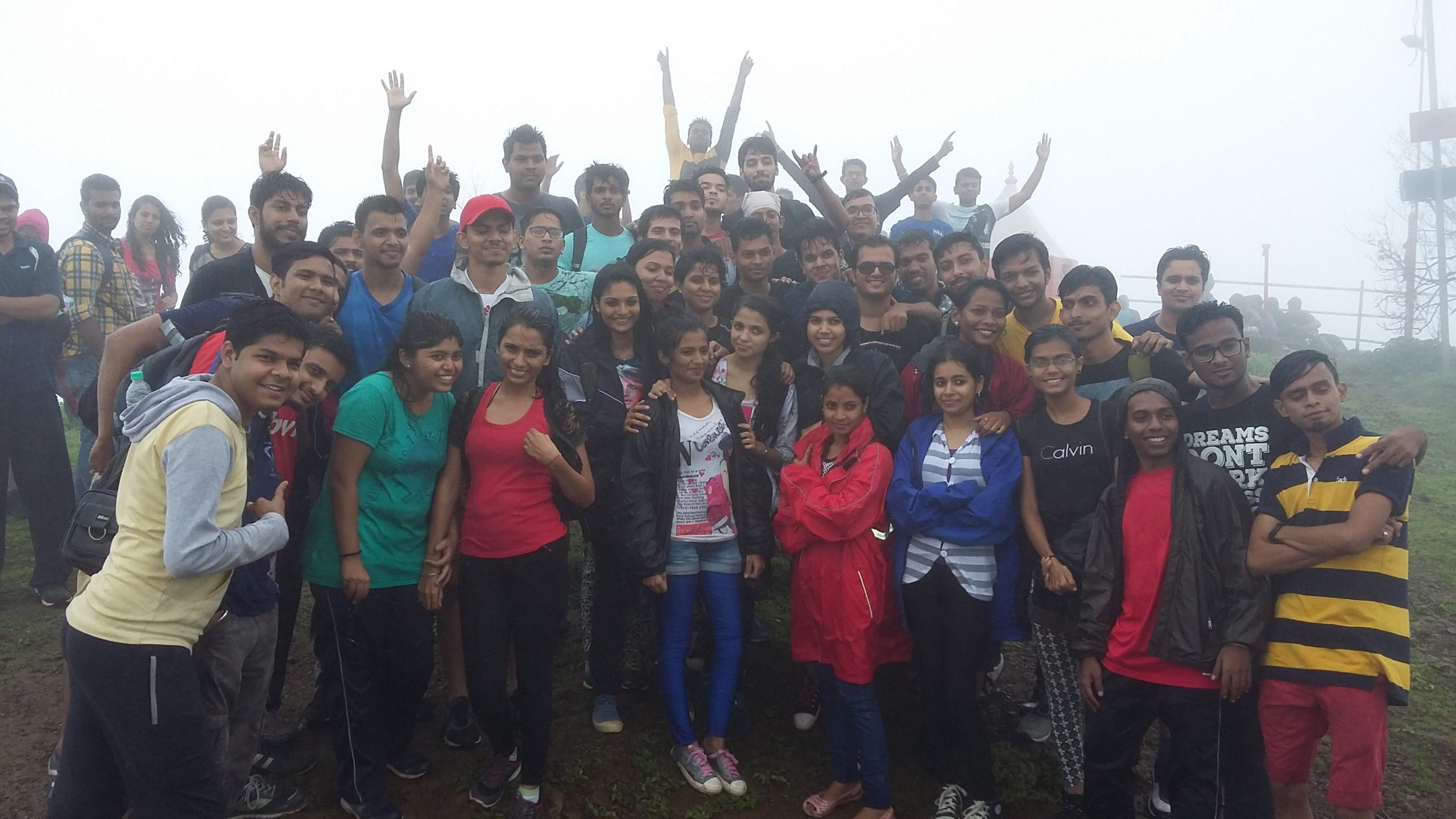
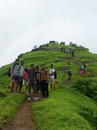
Trek to Sudhagad Fort on 23rd August 2019
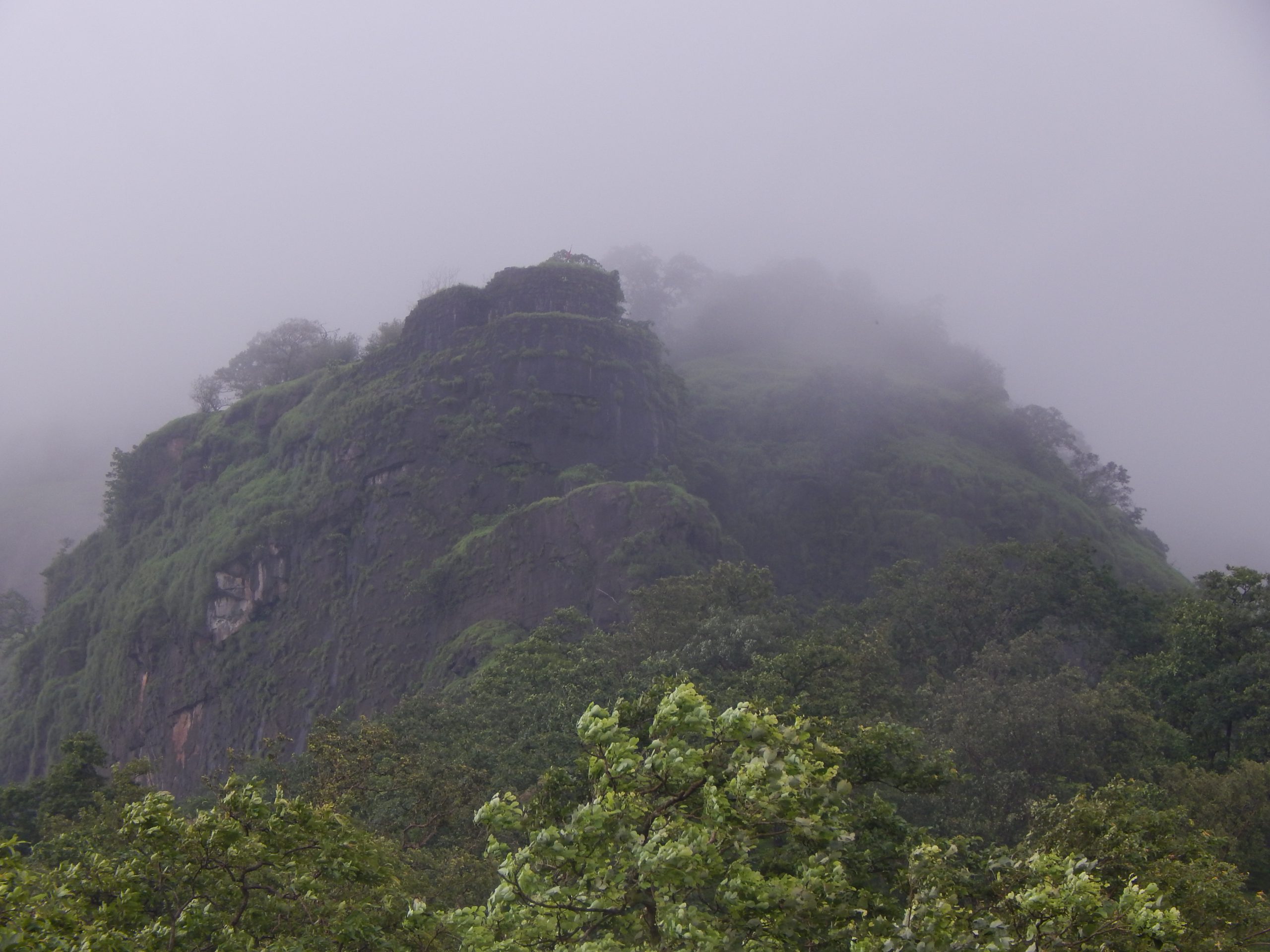
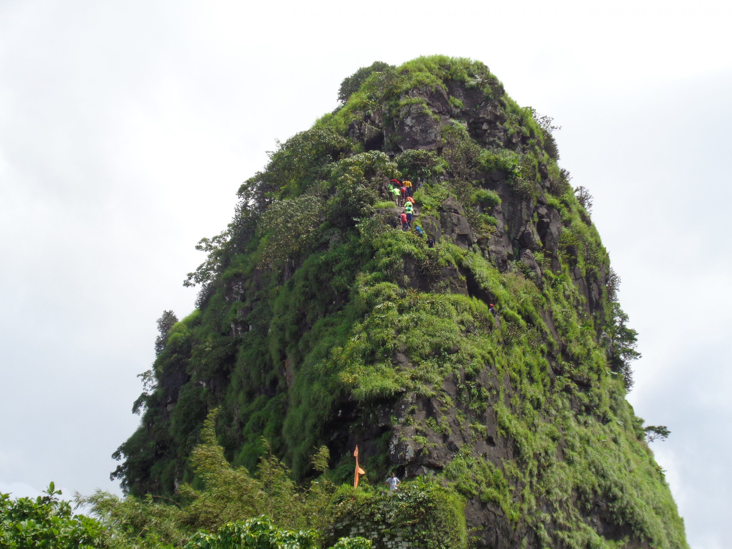
Thakur Institute of Management Studies, Career Development & Research (TIMSCDR) organized a trek (Take a Hike) to Sudhagad Fort on 23 August 2019. Sudhagad, also known as Bhorapgad, is a small hill fort near Pali, Maharashtra. The fort was named Bhorapgad after the Goddess Bhoraidevi. Recently the entire area around the fort is declared as Sudhagad Wildlife Sanctuary.
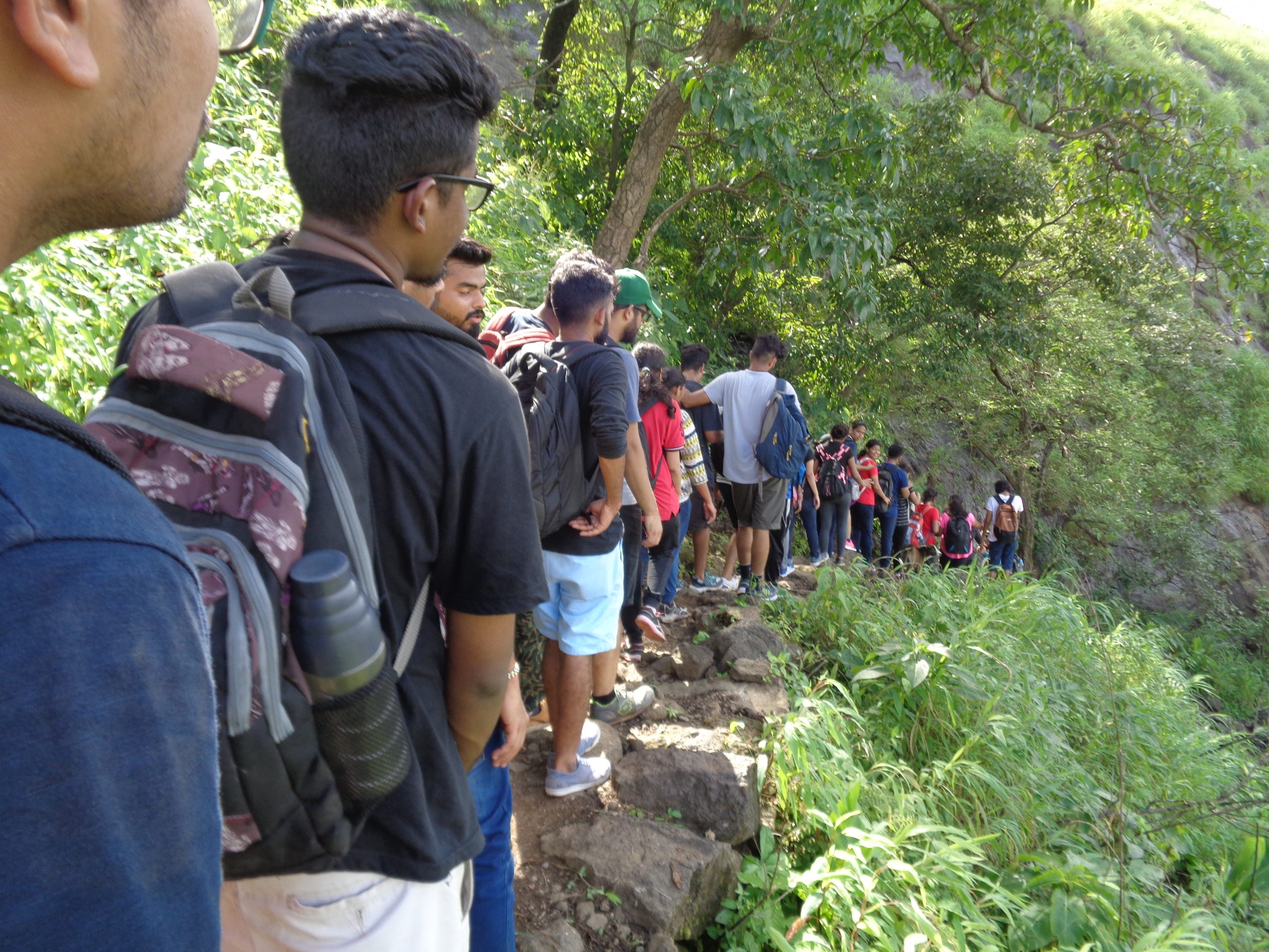
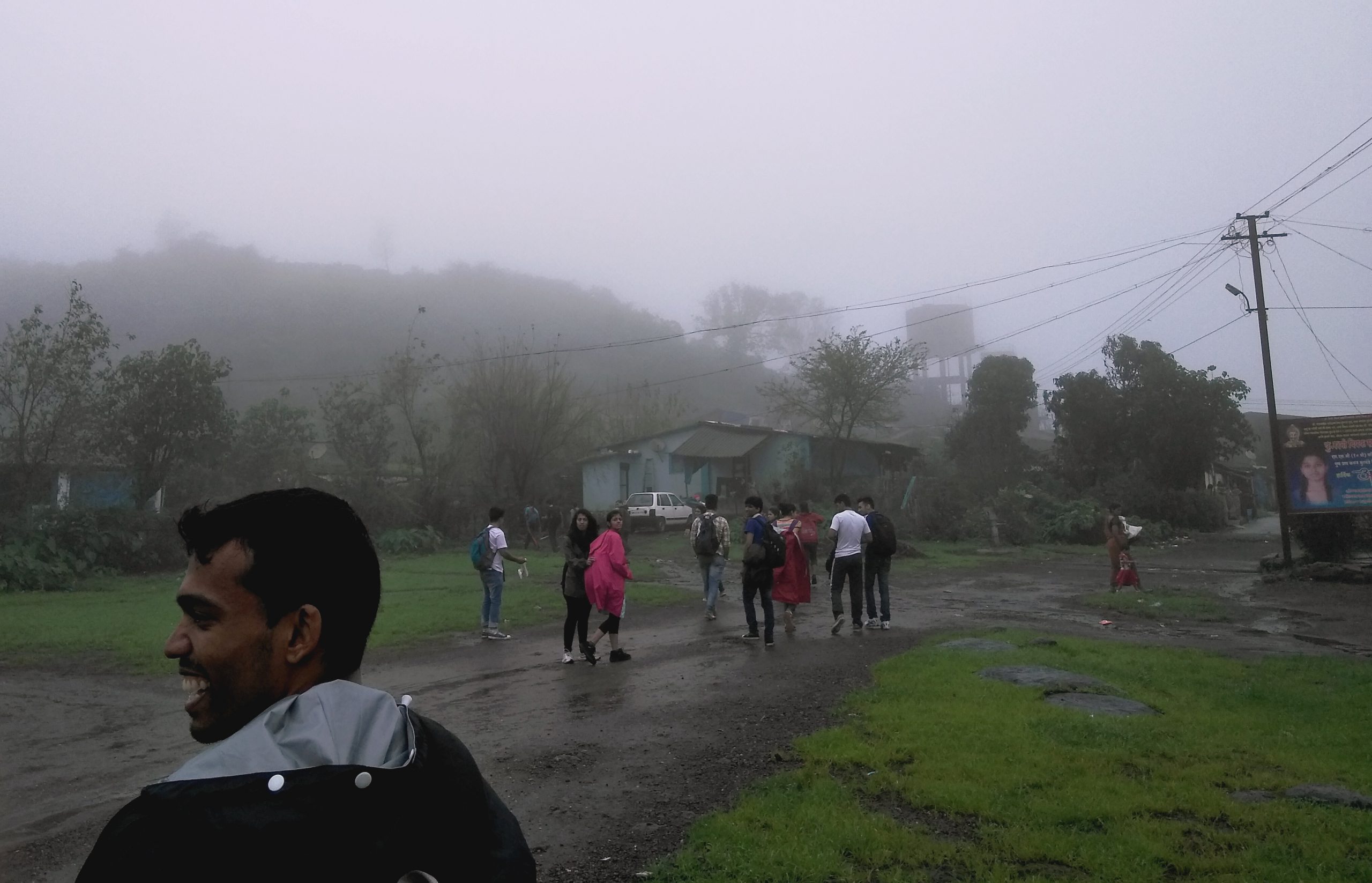
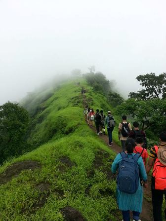
The trek started at 12 pm. It took near about 2 hours to reach the top of the peak. The trail begins just opposite to the school. After crossing few houses, the trail begins ascending slightly. Two ladders where there in the route.
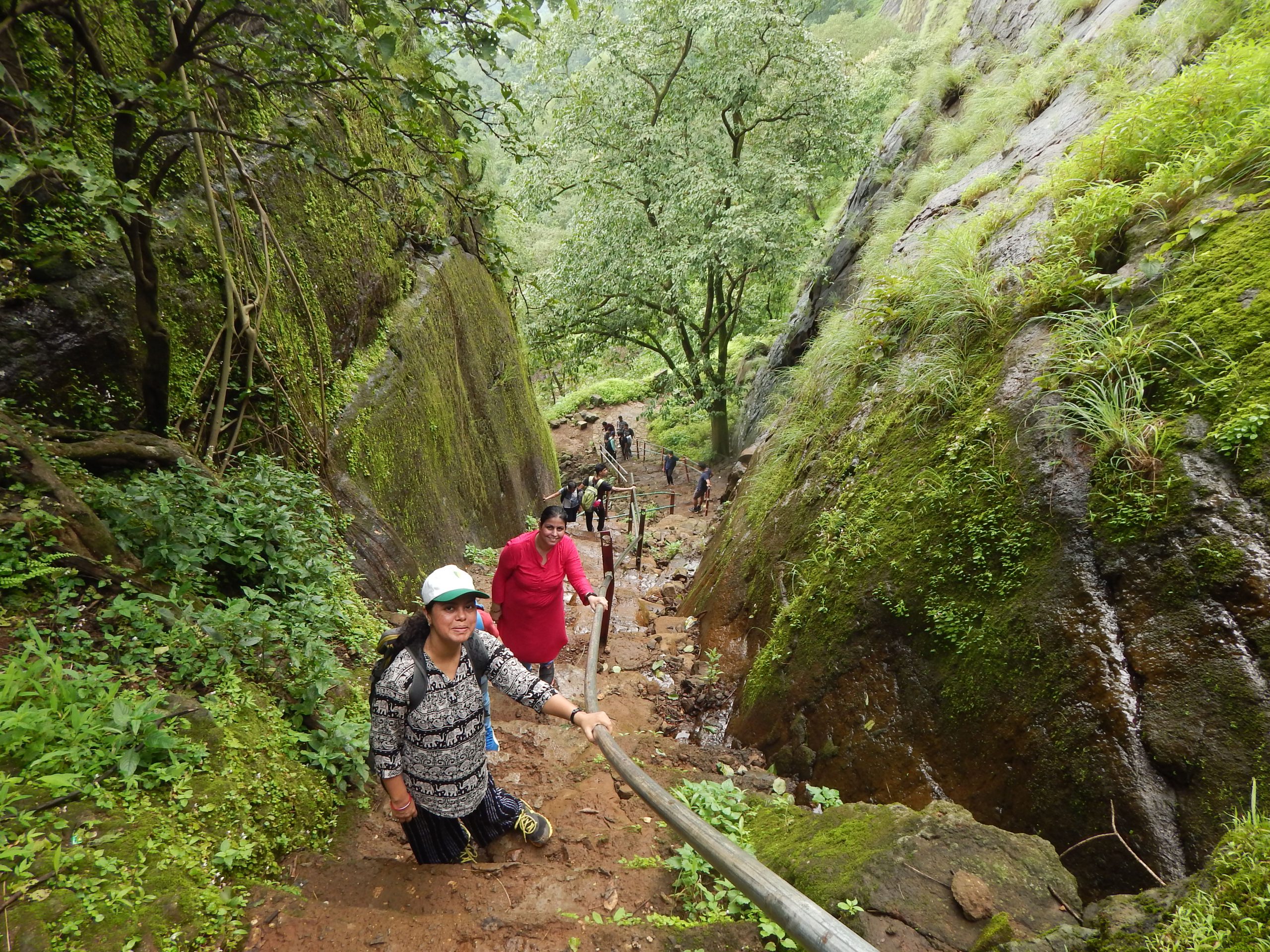
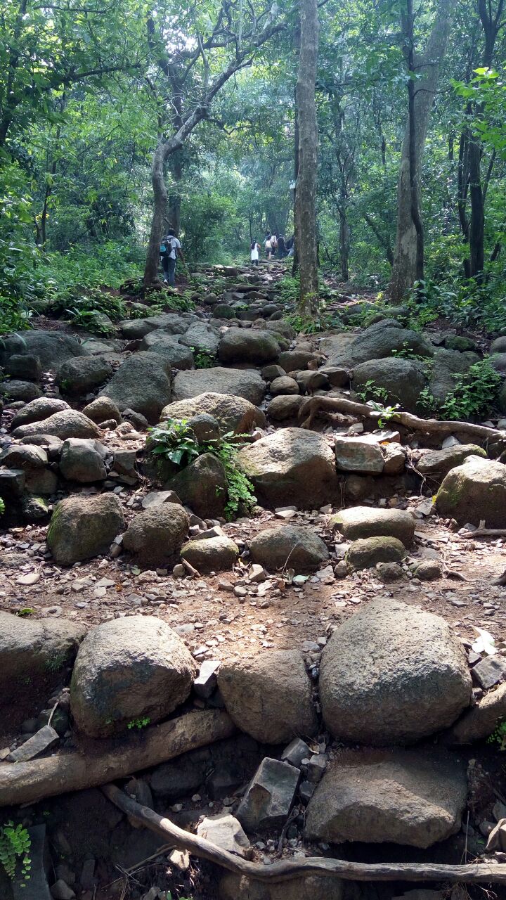
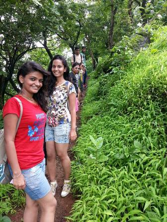
The trail is rocky, narrow and usually covered with trickling water during the monsoon. Traversing further, the route now moves through some dense overgrowth and we reached the first ladder. The ladder appears to be new and strong. After climbing the first ladder, the trail passes through open meadows with light ascent. About 15 minutes of walk there is a second ladder.
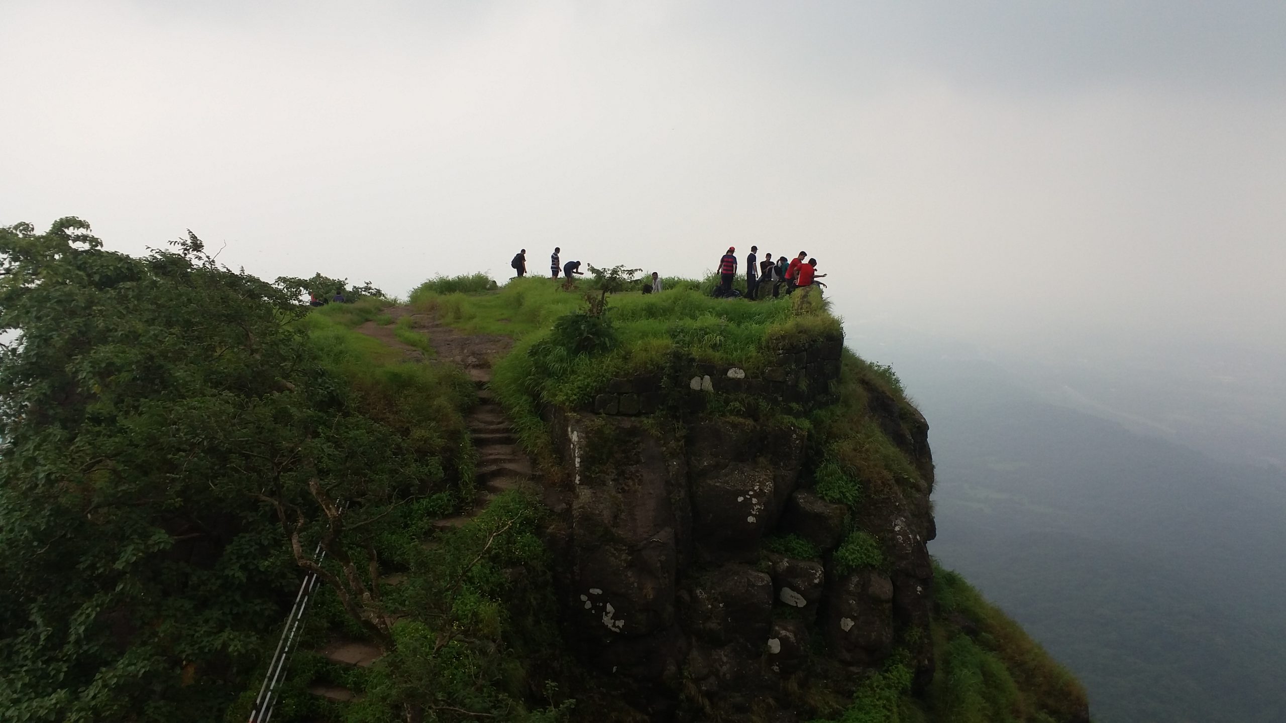
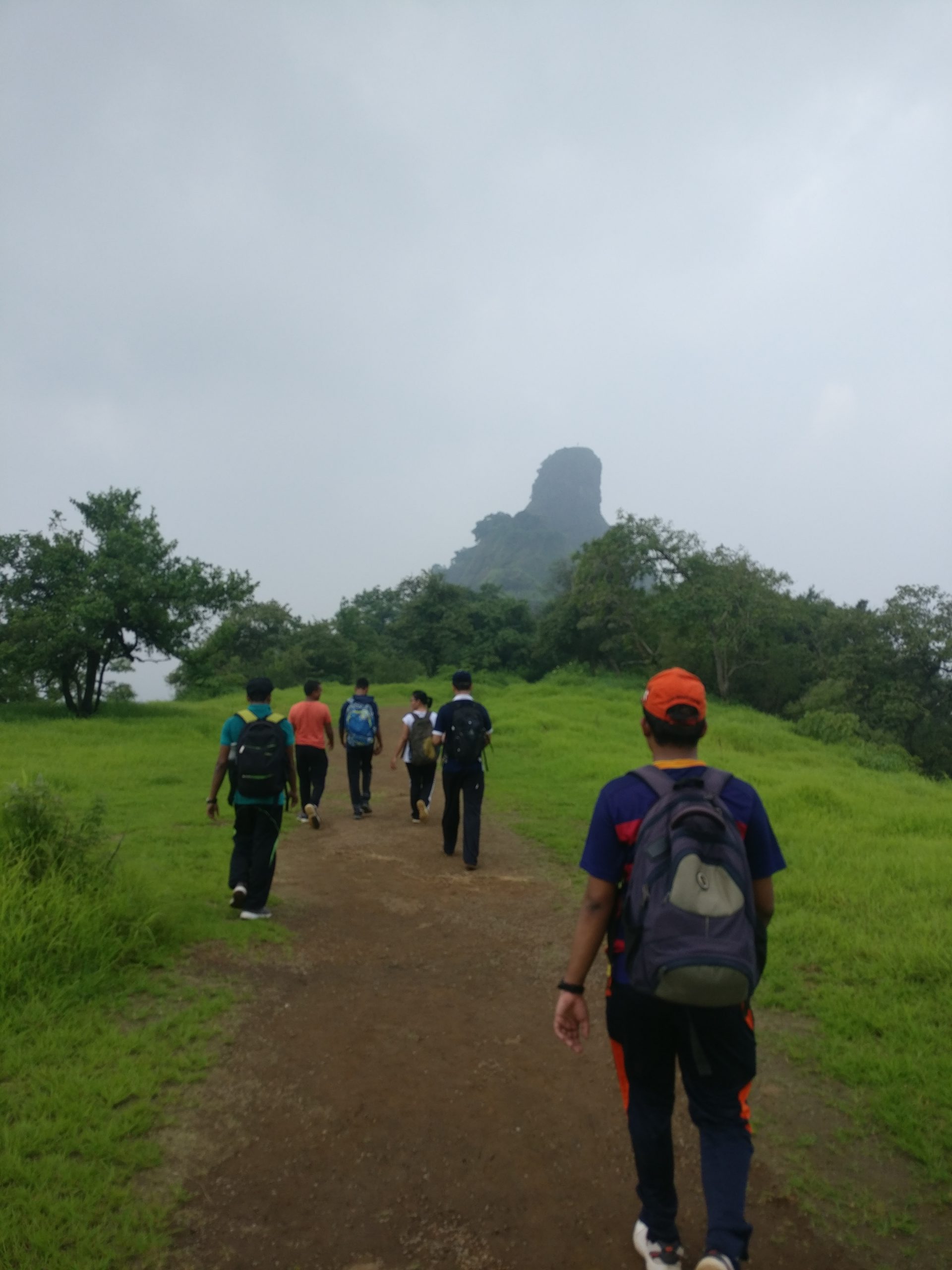
Once we climb the ladder, we will reach stone steps which lead through Pacchapur darwaja. The last 15 minutes of the climb is again through open meadows and lead upto Takmak point. The trail now opens up to huge flat land. There is a potable fresh water pond at the top. Moving ahead we came across Rajwada. The Rajwada has a wooden pillared gallery surrounded by a central courtyard. Further we land on a stone bordered walkway which leads to the Bhorai devi temple. Bhorai devi was the family deity of the Pant Sachivas. There is a huge deep lamp tower in the temple courtyard and several hero stones carved to pay tribute to the death of a hero in a battle.
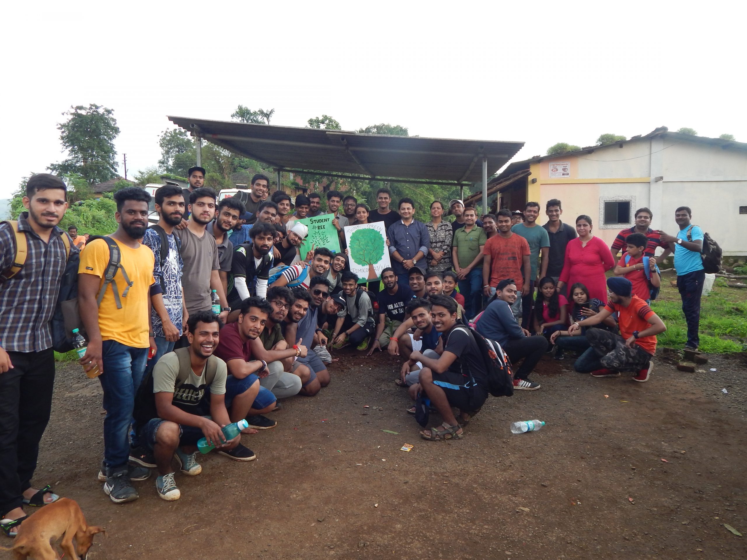
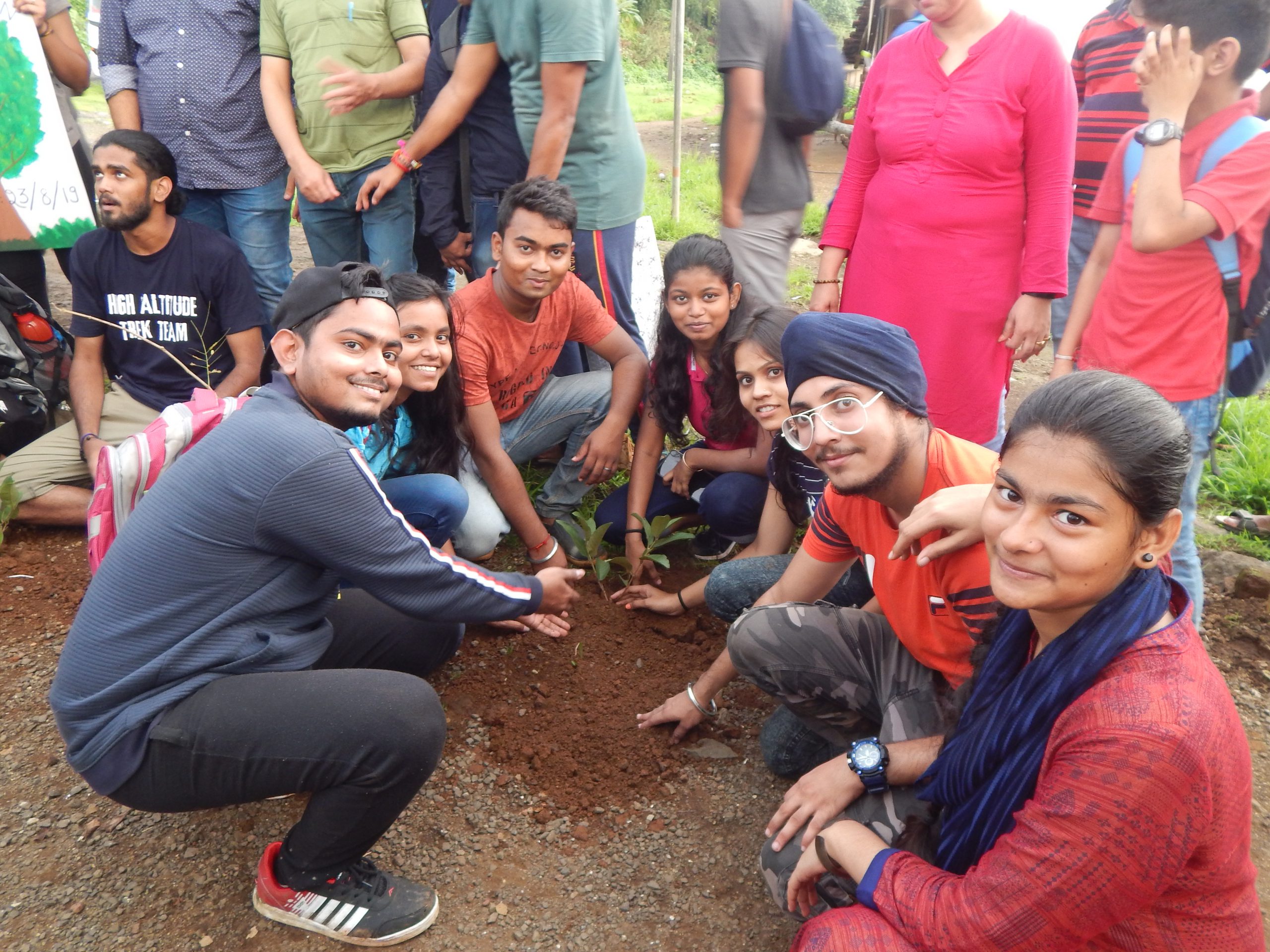
Plantation Drive as a part of “One Student, One Tree" initiative of MHRD, Govt. of India was also conducted on the same day. Faculty Members, Staff members and Students were engaged in plantation drive and planted trees.
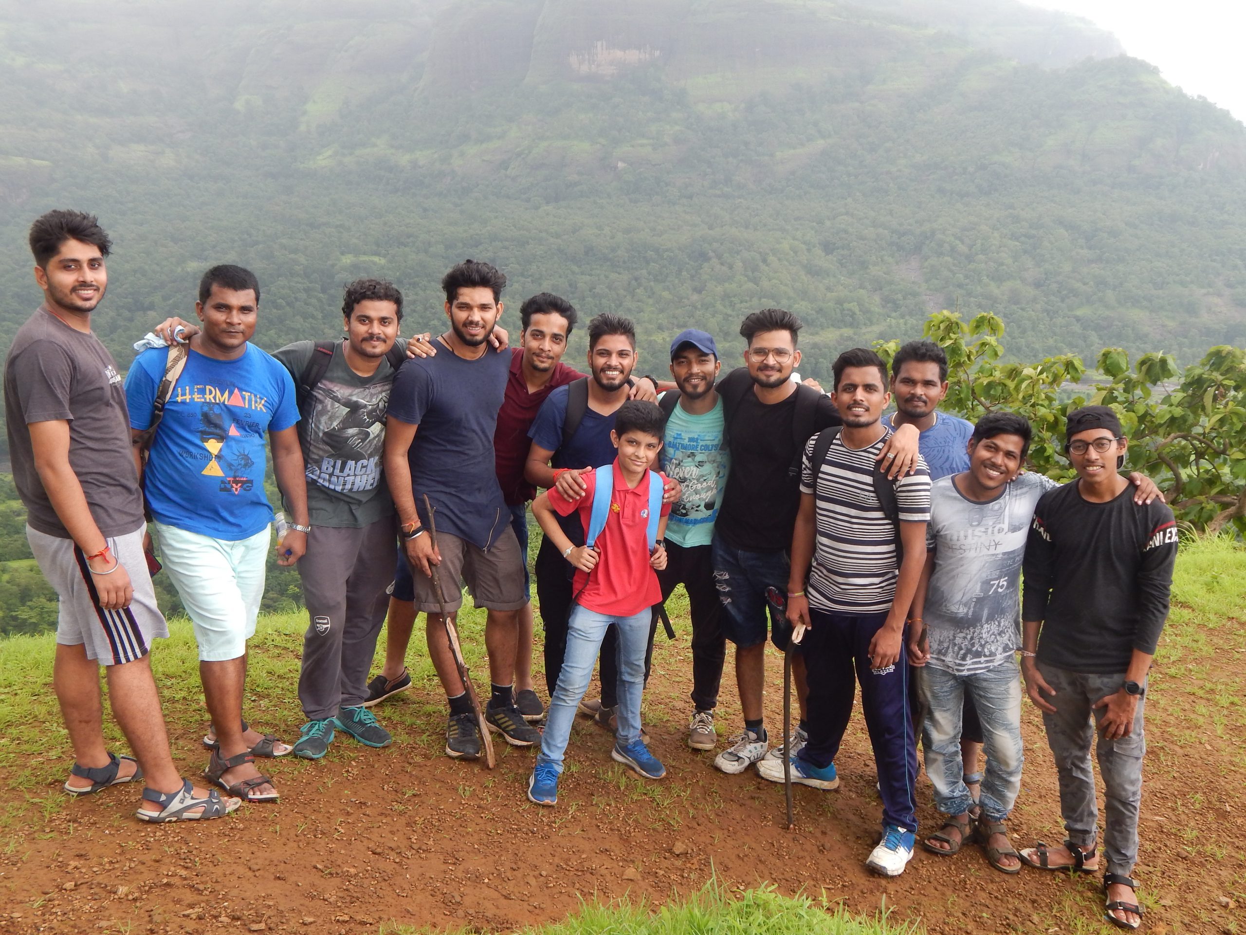
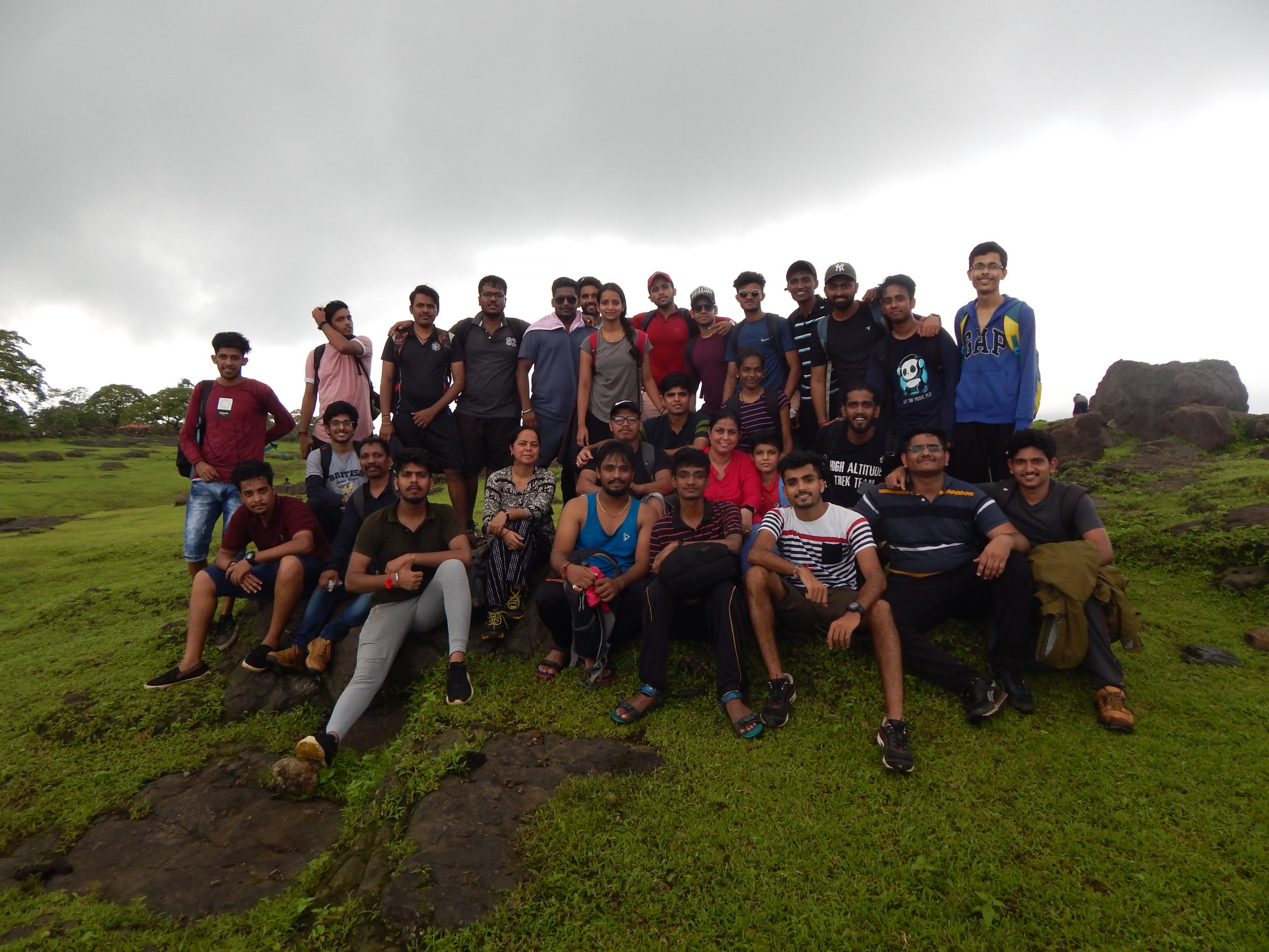
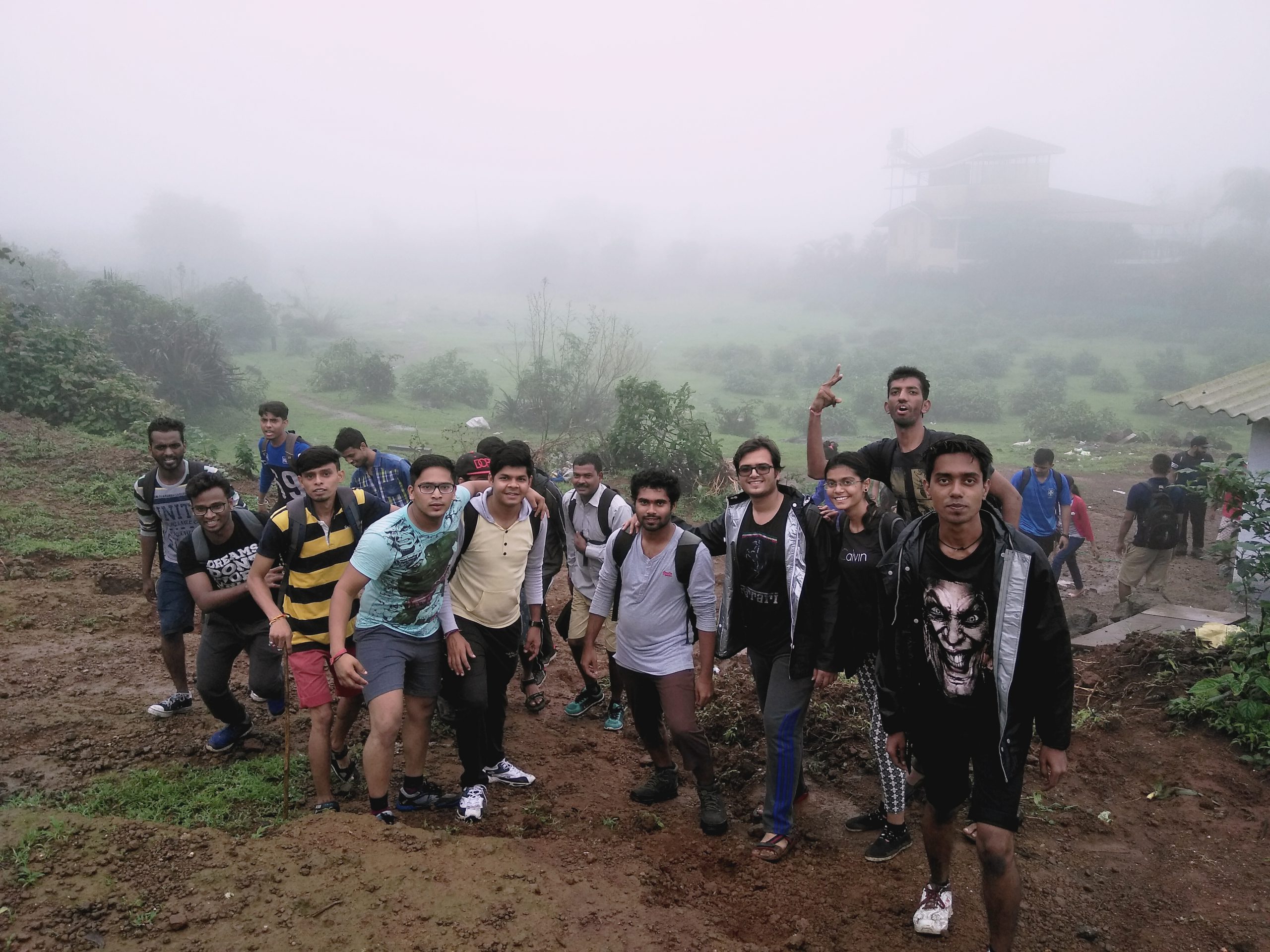
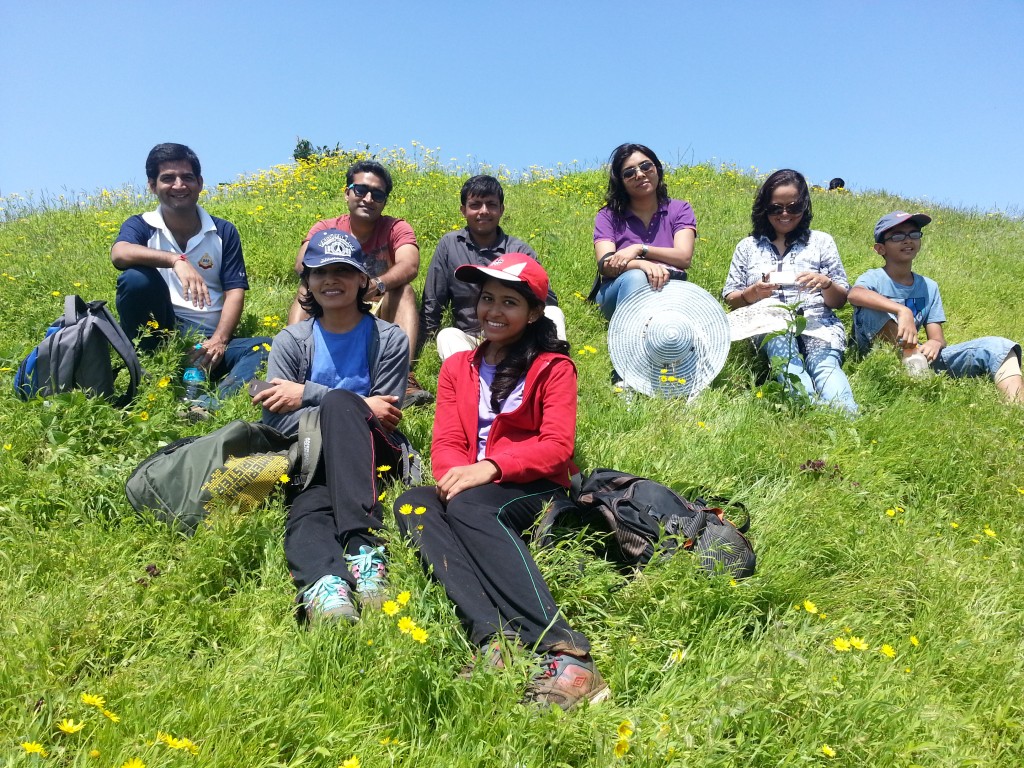
Total 89 students accompanied by 9 staff members were participated in the trek. It was quite adventurous and exciting experience for the participants.
Trek to Kothaligad on 8th September 2018
Thakur Institute of Management Studies, Career Development & Research (TIMSCDR) organized a trek to Kothaligad (Peth) Fort, Near Ambivali Village, Karjat on 8th September 2018.
Kothaligad (Peth) Fort is situated to the east of Karjat near Karjat-Murbad Road. It is also known as the Fort of Peth because of its vicinity to Peth village at its base.
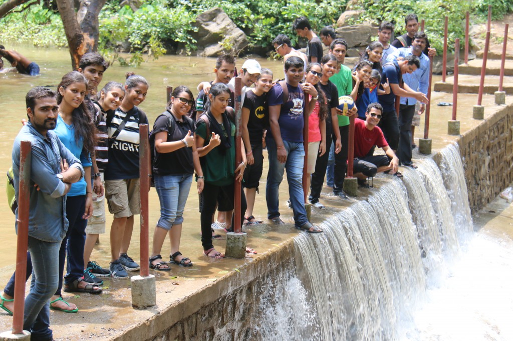
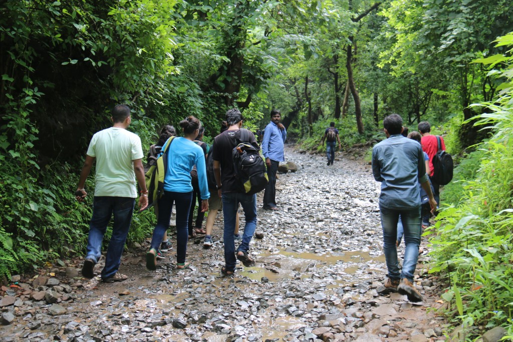
The trek started at 11 am. It took near about 4 hours to reach the top of the peak. There is a small waterfall along this route. The trail is rocky, narrow and usually covered with trickling water during the monsoon. The trail meanders through dense bushes and trees as it follows a water pipe that links Peth village to Kothaligad fort. The views from this trail are awe-inspiring. From the base of the fort a series of 87 steps carved inside the funnel bring you to the top of the pinnacle. There is a section along the stairs where the steps have weathered and broken down and this section requires a bit of careful climbing.
There is a small temple and large cave at the base and a chimney like tunnel to the top of the fort. This pinnacle is carved from inside forming a staircase reaching the top. There is a tank of water at some distance from the cave and another one at the top of the fort. The end view was enchanting.
There were total 131 students accompanied by 9 staff members were participated in the trek. It was quite an exciting and thrilling experience for the students.
Trek to Karnala Fort on 9th September 2017
Student council of Thakur Institute of Management Studies Career Development and Research organized a trek to Karnala Fort, Panvel. It is a hill fort in Raigad district, about 75 kms from Mumbai city. It is a protected place lying within the Karnala Bird Sanctuary. It was a fort of strategic importance as it overlooked the Bor pass which connected the Konkan coast to the interior of Maharashtra (Deccan Plateau) and was the main trade route between these areas It is situated at an elevation of 1440 feet.
There were approximately 100 students accompanied by 8 staff. The trip to the top was filled with excitement as students and professors alike were thrilled. The trek started at 10.15. It took near about 2.5 hours to reach the top of the peak. The view from the top was breathtaking.
Trek to Duke Nose on 27th August 2016
Recently, student council of Thakur Institute of Management Studies Career Development and Research organized a trek to a place called Dukes Nose (Nagphani) later known as Duke’s Nose after Duke Wellington, is a cliff at Khandala near Lonavala.. Situated at an elevation of 2000+ feet above sea level, it appears instead like a Peak.
There were approximately 100 students accompanied by 5 Professors and 4 office staff. The trip to the top was filled with excitement as students and professors alike were thrilled. The trip started at the base in the village called chavani from where it took about 1 hour for the students and professors to reach the top of the peak. The Trip was filled with Fogy Mountains, cut-rock Cisterns, Lush greenery and the slippery road all of which contributed to a mesmerizing trip and in the end the view was enchanting.
Irshalgad Trek Review (6/8/2015)
Recently, Thakur Institute of Management Studies Career Development and Research organised a trek to a place called Irshalgad which is Mountain range located between Panvel and Matheran in Maharashtra. Situated at an elevation of 4000+ feet above sea level, it ceases to appear like a fort and appears instead like a Peak.
There were approximately 150 students accompanied by 10 Professors and also our ma’am andHead of Director, Vinita Gaikwad all of which who were active participation. The trip to the top was filled with excitement as students and professors alike were thrilled. The trip started at the base in the village called Irshalwadi from where it took about 2 plus hours for the students and professors to reach the top of the peak. The Trip was filled with Fogy Mountains, cut-rock Cisterns, Lush greenery and the slippery road all of which contributed to a mesmerizing trip and in the end the view was enchanting.
Trek to Lohagad on 27th September 2014
An army of 150 MCA students and staff left for Lohagad in early morning of 27th September 2014, with three buses. We enjoyed journey passing good time by playing Antakshari, sharing food and going fogs on both sides of road in early morning like we say “Early bird gets worm”.
Lohagad (iron fort) is one of the many hill forts of Maharashtra state in India. Situated close to the hill station Lonavala and 52 km (32 mi) northwest of Pune, Lohagad rises to an elevation of 1,033 m (3,389 ft) above sea level. The fort is connected to the neighboring Visapur fort by a small range. The fort was under the Maratha empire for the majority of time, with a short period of 5 years under theMughal empire.
We finally extend our thanks to student council, staff and our dearest students for such a huge response for this trekking to heritage place.
Trekking @ Kanheri Caves
On 21st January, 2014 TIMSCDR arranged for a trekking at Kanheri caves in Sanjay Gandhi National Park, Borivali.
On a chilly winter morning about 30 TIMSCDRites accompanied with their enthusiastic 5-6 faculty and staff members reached the front gate of the park at 7:00 am. The area was buzzing with youngsters, morning walkers and school students. The gates opened at 7:30 sharp. And it felt like a school gate opened after the classes as people rushed to get into the line for tickets to the national park.
Once we were inside the park, we formed our own mini groups and started our trek at 7.45 am. When we started we were surrounded by nature on both the sides, people riding bicycle besides us, monkey jumping from one tree to another, deer at far end of the jungle, journalist and zoologist trying to locate birds and animal, people sitting at the lake side end and sketching, many people were doing photography and all these things made it a very energetic environment. The plan was to walk till Kanheri caves which is about 6 km from the National park main gate and then come back. For the initial 3-4 kms we all were together and at the best of our enthusiasm but with every incoming upward slope, the distance between the front leaders (read students) and followers (read faculty members) started increasing.
But the sheer beauty of the park with trees on the sides, mountain in front and relatively empty road with fellow walkers, cyclists made us forget the fatigue. As we walked through crests and troughs, one by one, the density of fellow walkers and cyclists decreased gradually.
But the best was yet to come. After about another 1 km as we reached the junction with lion/tiger reserve on left and Kanheri caves on right, the clear blue sky above our head and a small rivulet under our path joined the party. It only has to be a dream to be walking up and down in a group through a lush green national park in the middle of all these spectacles. Can anyone ask for more? YES. All we wanted now was a cup of tea and pakodas. Alas, we didn’t get that at that time. We crossed the rest of the distance to finally reach Kanheri caves.
Everyone of the group was awestruck with the structural beauty of this thousand of years old Buddhist sculptures. We decided to move ahead with caves exploration. As we kept exploring the caves; we went on a mini-trekking spree through rocks, carefully walking across. We walked, slide, jumped, climbed and, at times, slipped. Fortunately, all the bones were intact, at the end. The top is picturesque and well worth the effort. It was an old partially destroyed temple which was the touch-down point somewhere in the park.
As sun rose higher in the sky we started the return journey. Just before we started our return journey, we stopped outside to have raw mango, orange and cucumber to energize ourselves for the return journey.
The return journey was, to a large extent, uneventful as we went non-stop till the national park gate, but never missing out on flamingos, deer and monkeys. The last 500m was a race among some group members to finish it in STYLE!!! At the end, it was the pride of making it till the end than anything.
As we left the park, we took a final group picture. We looked back and told ourselves, “We’ll come back again!!!”

